
How Does GPS Know Where You Are?
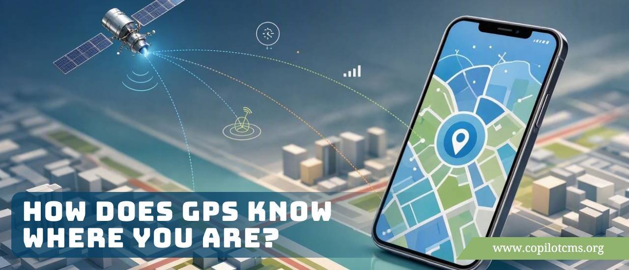
Ever wondered how your phone can show a tiny blue dot that seems to know exactly where you are? It feels almost magical, but GPS is really a clever combination of satellites, clocks, radio signals, and mathematics—and it can occasionally be surprisingly wrong.
What Is GPS, Anyway?
GPS stands for Global Positioning System. It is a satellite-based navigation system that can help determine where a GPS receiver is located on Earth.
Although people often say "GPS" when talking about phone location, there is an important distinction. GPS is one particular satellite navigation system operated by the United States. Modern phones can also use other satellite systems, such as Europe's Galileo, Russia's GLONASS, and China's BeiDou. Together, these are often called GNSS, or Global Navigation Satellite Systems.
So when your phone shows your location, it may be listening to signals from satellites belonging to several different systems—not just GPS.
The Big Idea: Your Phone Measures Distance From Satellites
The basic idea behind satellite positioning is surprisingly simple.
Your phone listens for signals sent by satellites orbiting Earth. Those signals contain information that allows the phone to estimate how long the signals took to travel from the satellites to your phone.
Because radio signals travel at approximately the speed of light, the phone can turn that travel time into a distance.
If the phone knows:
- where a satellite is, and
- approximately how far away that satellite is,
it can work out where it must be.
The Real-World Version: Finding Yourself With Flashlights
Imagine you are standing somewhere in a huge dark field. You cannot see any landmarks, roads, buildings, or signs.
Now imagine that three people standing at known locations around the field shine flashlights toward you and somehow tell you exactly how far away you are from each of them.
If Person A is 5 kilometers away, Person B is 8 kilometers away, and Person C is 6 kilometers away, you can use those distances to narrow down your location.
Satellite navigation works on a similar principle. The satellites are the people with the flashlights, except they are thousands of kilometers above Earth and communicate using radio signals.
Why Doesn't One Satellite Tell Your Phone Where It Is?
A single satellite can tell your phone something useful: "You are approximately this far away from me."
But there are many possible places on Earth that could be that distance from the satellite.
Think of drawing a huge circle around yourself on a map. If you only know your distance from one point, you could be anywhere on that circle.
A second satellite gives you another distance. The two circles intersect at a much smaller number of possible locations.
A third satellite helps narrow things down further.
In simple terms:
- One satellite: not enough information.
- Two satellites: much better, but ambiguity can remain.
- Three satellites: can narrow your position considerably.
- Four or more satellites: allow the receiver to solve for position while also correcting an important clock problem.
Why Does GPS Usually Need Four Satellites?
This is one of the most interesting parts of the system.
To determine your three-dimensional position, the system needs to figure out three things about where you are:
- your position from side to side,
- your position from north to south, and
- your height above a reference surface.
But there is a fourth unknown: the phone's clock is not accurate enough for the job.
Satellites carry extremely precise atomic clocks. Your phone has a much cheaper electronic clock. Even a tiny timing error can create a large position error because radio signals travel so quickly.
The fourth satellite gives the receiver enough information to estimate and correct this clock error.
So the receiver is effectively solving several unknowns at once: three dimensions of position plus the error in its own clock.
How Does the Satellite Know Where It Is?
This raises another interesting question: if your phone needs to know where the satellites are, how does it get that information?
GPS satellites follow carefully tracked orbits around Earth. Ground stations monitor the satellites and calculate their orbital information.
The satellites then broadcast information about their own position and the timing of their signals.
Your phone uses this information to determine where each satellite was when it transmitted the signal.
Why Timing Is So Important
GPS is essentially a giant timing system.
Imagine throwing a ball to someone. If you knew exactly when the ball left your hand and exactly when it arrived, you could calculate how long it was in the air.
GPS does something similar, except the "ball" is a radio signal traveling at roughly 300,000 kilometers per second.
Because the signal moves so quickly, an extremely small timing mistake can translate into a significant distance error.
For example, an error of just a millionth of a second corresponds to roughly 300 meters of travel at the speed of light.
That is why precise clocks and timing corrections are fundamental to satellite navigation.
Does Your Phone Actually "Talk" to GPS Satellites?
Not in the way you might imagine.
When determining its satellite-based position, your phone primarily receives signals from satellites. It does not normally need to send your location back to the satellites.
This is an important difference between GPS and technologies such as mobile phone networks.
A GPS receiver can theoretically determine its position without having a mobile phone signal or an internet connection, provided it can receive enough satellite signals and has the necessary information to process them.
Then Why Does GPS Sometimes Work Faster With Internet?
This is where things get interesting.
Your phone can use additional information from the internet or cellular network to speed up the process of finding its location. This is commonly associated with Assisted GPS (A-GPS) and related assistance techniques.
Instead of starting completely from scratch, the phone may obtain information about which satellites are currently useful and where they are expected to be.
Think of it like looking for a friend in a huge city.
You could walk around every street searching for them. Or you could call someone and ask, "Which neighborhood are they in?"
The second method gets you started much faster.
The satellite signals still provide the core positioning information, but assistance data can reduce the time needed to acquire a position.
Why Is My GPS Location Sometimes a Little Wrong?
GPS is powerful, but it is not magic. Your phone is trying to determine a location using extremely precise timing while radio signals travel through a complicated atmosphere and interact with buildings, trees, terrain, and other objects.
Several things can introduce errors.
1. Buildings Can Block the Signals
GPS satellites are high above you, so your receiver generally works best when it has a reasonably open view of the sky.
Inside a building, signals may become weaker. Thick concrete, metal structures, roofs, and other materials can make satellite reception more difficult.
This is one reason your location may become less accurate indoors.
2. Tall Buildings Can Cause Reflections
Radio signals can bounce off surfaces.
Imagine shouting between tall buildings and hearing your voice bounce back from walls. A GPS signal can experience a somewhat similar phenomenon.
A signal may travel directly from a satellite to your phone, but another copy of the signal may first bounce off a building before reaching the phone.
This can confuse the receiver about the signal's travel time.
This problem is known as multipath.
3. Trees Can Make Reception More Difficult
A dense canopy of trees can weaken or obstruct satellite signals.
You may notice that location accuracy is better in an open area than underneath dense vegetation, especially when combined with other obstacles.
4. Mountains and Terrain Can Block the Sky
If you are surrounded by mountains, cliffs, or steep terrain, fewer satellites may be visible.
Fewer usable satellites can mean less information for calculating your position.
5. The Atmosphere Affects the Signals
GPS signals travel through Earth's atmosphere before reaching your phone.
The ionosphere and troposphere can slightly alter how the signals travel. GPS receivers and modern positioning systems use models and corrections to compensate for these effects, but the correction is not always perfect.
6. Satellite Geometry Matters
It is not simply a matter of counting satellites.
Imagine trying to locate yourself using three people who are standing almost shoulder-to-shoulder. Their distance information does not give you as much useful geometric information as three people spread out around you.
Satellite positioning has a similar issue.
If the visible satellites are arranged in particularly unfavorable positions in the sky, even accurate measurements can produce a less precise location.
The arrangement of satellites relative to the receiver is often described using geometric dilution of precision, or DOP.
Can GPS Put You on the Wrong Street?
Absolutely.
In difficult environments, your phone might show your location tens of meters away from your actual position. In some circumstances, the error can be considerably larger.
This can happen in dense cities where tall buildings create reflections and block parts of the sky.
It can also happen indoors, underground, beneath heavy tree cover, or in other environments where satellite signals are weak or obstructed.
Why Does the Blue Dot Sometimes Have a Big Circle Around It?
If you have used a map application, you may have noticed a blue circle surrounding your location dot.
That circle is essentially a visual indication of uncertainty.
A small circle suggests that the device has relatively high confidence in the location. A large circle indicates that the estimated position could be somewhere within a much larger area.
In other words, your phone is effectively saying:
"I think I'm here, but I'm not completely sure. I could be somewhere around this area."
GPS Is Not the Only Technology Your Phone Uses
When your phone shows your location, it may combine information from several sources rather than relying entirely on satellites.
Cell Towers
Your phone is often connected to cellular towers. Knowing which towers it can communicate with can provide clues about its approximate location.
Cell-tower positioning is generally less precise than a strong satellite-based fix, but it can be useful when satellite signals are unavailable.
Wi-Fi Networks
Nearby Wi-Fi networks can also provide location clues.
Your phone may detect surrounding Wi-Fi networks and use location databases containing information about where those networks have previously been observed.
This can be particularly useful indoors, where satellite signals may be weak.
Bluetooth Beacons
In certain environments, Bluetooth signals can help determine where a device is located. This can be useful in places such as large buildings, stores, museums, or transportation facilities where specialized positioning systems have been installed.
Motion Sensors
Your phone also contains sensors such as an accelerometer and gyroscope.
These sensors can detect movement and changes in orientation. They do not replace satellite positioning, but they can help the device estimate how you have moved between reliable location measurements.
How Does Your Phone Know You Are Driving?
Your phone does not need GPS alone to understand movement.
It can combine satellite positioning with motion sensors, map information, speed estimates, and other signals.
For example, if your position is changing rapidly along a road, the phone can infer that you are probably traveling in a vehicle rather than standing still.
Navigation software can also compare your estimated position with the road network on a map.
What Is "Map Matching"?
Suppose your phone's positioning system says you are approximately 15 meters from a road.
If the map knows that a road is right next to your estimated location, the navigation software can use that information to determine that you are probably on that road.
This process is commonly called map matching.
It is another example of how your phone can combine multiple pieces of information instead of blindly trusting one measurement.
Does GPS Need the Internet?
No—not necessarily.
Satellite positioning itself does not fundamentally require an internet connection.
However, modern phones often combine satellite information with internet, cellular, Wi-Fi, and map data. As a result, losing your internet connection can affect how quickly or conveniently your phone determines and displays your location, even though satellite signals themselves are still available.
This is why the terms "GPS" and "phone location" should not be treated as exactly the same thing.
Why Can GPS Work in a Desert But Struggle Inside a Building?
This seems strange at first.
A desert may have almost nothing around you, yet your phone can often determine your location quite well. Inside a modern building surrounded by technology, it might struggle.
The difference is mostly about visibility of the sky and signal conditions.
In an open desert, your phone may have a clear view of many satellites.
Inside a building, walls and ceilings can weaken or block the signals. Metal structures and other surfaces can also cause reflections.
So "more technology around you" does not necessarily mean "better GPS."
Can GPS Be Wrong Even Outdoors?
Yes.
Even outdoors with a clear sky, satellite positioning is an estimate rather than a magical pinpoint.
Errors can come from atmospheric conditions, satellite geometry, imperfections in the receiver, signal interference, and other factors.
For ordinary navigation, the resulting accuracy is usually sufficient. But specialized applications may require much greater precision.
How Can Surveyors Get Much More Accurate Positions?
Professional surveying equipment can achieve dramatically greater positioning accuracy than an ordinary smartphone.
One technique is called Real-Time Kinematic (RTK).
RTK systems use additional reference information to correct errors in satellite measurements. Under suitable conditions, specialized equipment can achieve centimeter-level positioning.
That is a very different requirement from navigating a car down a city street.
Think of it this way:
- Your phone asks, "Which street am I on?"
- A surveyor may need to ask, "Exactly where is this boundary marker, to within centimeters?"
The second question requires much more specialized equipment and processing.
What About GPS Jamming?
There is another important reason satellite navigation can fail: interference.
GPS signals reaching Earth are relatively weak. Strong radio interference in the relevant frequency bands can make it difficult for a receiver to detect or correctly interpret the satellite signals.
This is known as jamming.
There is also spoofing, which is different. Instead of simply overwhelming the real signals, spoofing attempts to provide false signals that can cause a receiver to calculate an incorrect location or time.
These issues are especially important for aviation, maritime navigation, military systems, critical infrastructure, and other applications that depend heavily on precise positioning and timing.
Why This Matters in Everyday Life
Most of us encounter satellite positioning without thinking about it.
It helps with:
- turn-by-turn navigation,
- ride-hailing applications,
- food-delivery tracking,
- fitness and running apps,
- finding lost devices,
- geotagging photographs,
- emergency location services,
- fleet and vehicle tracking,
- aircraft and ship navigation, and
- precision agriculture and surveying.
Modern society also relies on satellite-based timing for systems that do not obviously appear to have anything to do with maps.
What Should You Do If Your Location Is Wrong?
If your phone's location seems inaccurate, there are several practical things you can try.
- Move somewhere with a clearer view of the sky. Step outside or away from tall buildings if possible.
- Wait a little. The phone may need time to acquire additional satellite signals.
- Check location permissions. Make sure the application is allowed to use your device's location.
- Check your phone's location settings. Modern phones may combine satellite, Wi-Fi, cellular, and sensor information, and relevant location-accuracy settings can affect results.
- Restart location services or the phone. A temporary software or sensor problem can sometimes be resolved this way.
- Remember that indoors can be difficult. A large location error inside a building does not necessarily mean the GPS system itself is broken.
GPS vs. the Map: They Are Not the Same Thing
It is easy to blame GPS when a navigation application takes you somewhere unexpected, but there are actually several different systems involved.
The satellite system estimates your position.
The phone's operating system combines location information from different sources.
The map database provides information about roads, buildings, addresses, and places.
The navigation software then uses all of that information to calculate a route.
So if a road has recently changed, a map database contains an incorrect address, or a navigation algorithm chooses an unexpected route, the problem may have nothing to do with the satellite positioning itself.
The Amazing Part: GPS Works Without Knowing Your Name
One fascinating aspect of satellite positioning is that the satellites do not need to know who you are.
A basic GPS receiver simply receives radio signals from satellites and performs calculations to estimate its position.
The satellite system is fundamentally answering a physical question:
"Given these signals and their timing, where is this receiver located?"
Your identity, phone number, or name is not required for that basic calculation.
Why GPS Is Such a Clever Piece of Engineering
Think about what is happening.
A satellite hundreds or thousands of kilometers away sends a precisely timed radio signal.
Your phone receives signals from multiple satellites, measures tiny differences in their arrival times, accounts for the motion of satellites and the effects of the atmosphere, calculates a position, combines that information with other sensors and networks, and then places a dot on a digital map.
All of this can happen in seconds.
What looks like a simple blue dot on your screen is actually the result of a remarkable chain of physics, engineering, mathematics, computing, and communications.
The Takeaway
GPS does not actually "see" you. Your phone determines where it is by listening to precisely timed signals from satellites and calculating how far away those satellites must be. With enough satellite information, it can work out its position on Earth.
But the result is not always perfect. Buildings, trees, mountains, atmospheric effects, reflected signals, satellite geometry, interference, and limitations of the receiver can all introduce errors. Modern phones therefore combine satellite positioning with Wi-Fi, cellular networks, motion sensors, maps, and other information to produce a more useful location estimate.
So the next time you see a blue dot following you around a map, remember: it is not a tiny satellite watching you. It is your phone doing some remarkably sophisticated detective work.